
Nanterre Cyclotourisme
Par nanterre-cyclotourisme
Il y a un col près de chez nous ?
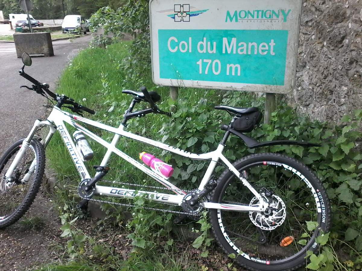
Et bien oui : à 25 km de Nanterre :
le COL DU MANET , altitude 170 mètres
Et nos compères l'ont vaincu !

Un peu humoristique ce col...
Aucun dénivelé jusqu'à l'arrivée !!!
LES PHOTOS :
le petit album est ici :
http://www.nanterre-cyclotourisme.fr/2016-05-14-album-col-du-manet.html
LES CHIFFRES :
Distance : 55,1km
Vitesse Max. : 55,4km/h
Denivelé positif cumulé : 533 m
Altitude maxi : 185 m
Altitude mini : 30 m
Début : 11h11
Fin : 14h27
Durée totale : 2h52m58s de marche + 00h23m43s de pause
LA CARTE :
F.G.
Eclipse Next 2019 - Hébergé par Overblog


/image%2F1495736%2F20170130%2Fob_9ee3c2_nanterrecyclo290117-randolevallois-01.jpg)
/image%2F1495736%2F20170120%2Fob_2f9083_couv-eddy.jpg)
/image%2F1495736%2F20170110%2Fob_c31d81_ardeche2014j3q.JPG)
/image%2F1495736%2F20170104%2Fob_4ae838_large.jpg)